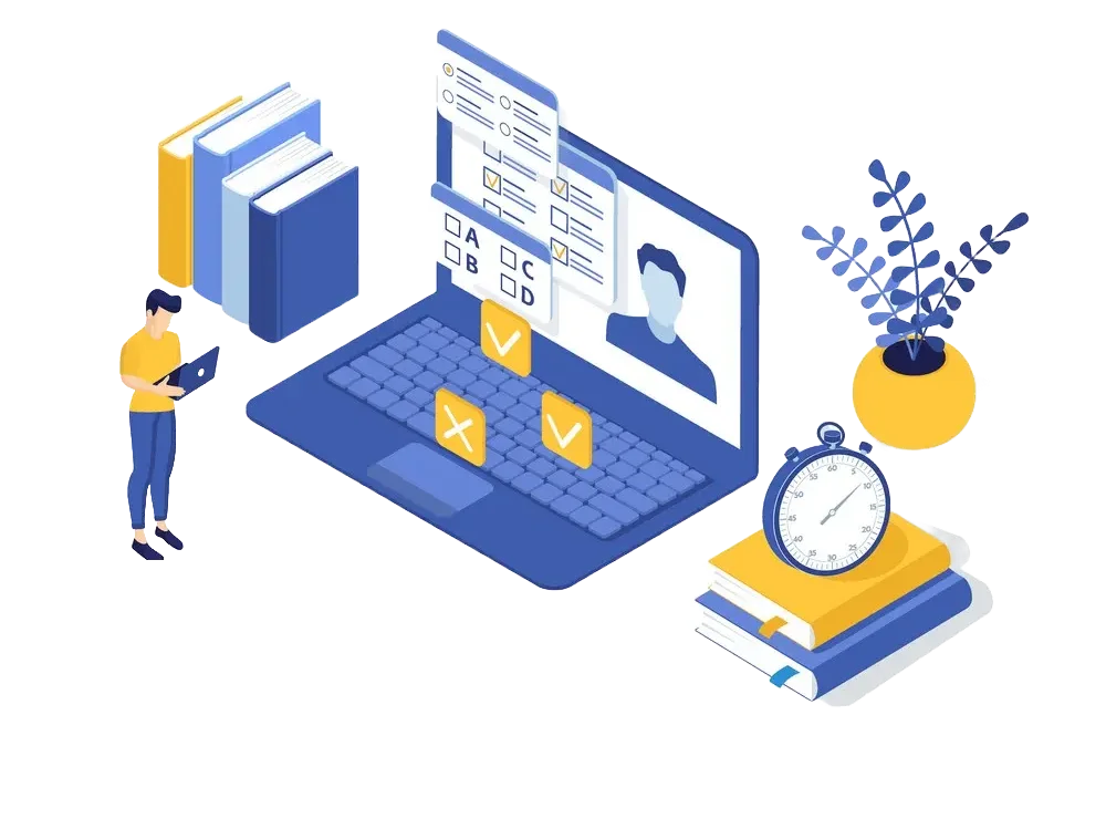
Embark on a journey of knowledge! Take the quiz and earn valuable credits.
Challenge yourself and boost your learning! Start the quiz now to earn credits.
Unlock your potential! Begin the quiz, answer questions, and accumulate credits along the way.
Embark on a journey of knowledge! Take the quiz and earn valuable credits.
Challenge yourself and boost your learning! Start the quiz now to earn credits.
Unlock your potential! Begin the quiz, answer questions, and accumulate credits along the way.
What is Public Land Survey System mean?
The Public Land Survey System (PLSS) is the surveying method developed and used in the United States to plat, or divide, real property for sale and settling. Also known as the Rectangular Survey System, it was created by the Land Ordinance of 1785 to survey land ceded to the United States by the Treaty of Paris in 1783, following the end of the American Revolution. Beginning with the Seven Ranges in present-day Ohio, the PLSS has been used as the primary survey method in the United States. Following the passage of the Northwest Ordinance in 1787, the Surveyor General of the Northwest Territory platted lands in the Northwest Territory. The Surveyor General was later merged with the General Land Office, which later became a part of the U.S. Bureau of Land Management (BLM). Today, the BLM controls the survey, sale, and settling of lands acquired by the United States.
referencePosted on 06 Jan 2025, this text provides information on Miscellaneous in Governmental related to Governmental. Please note that while accuracy is prioritized, the data presented might not be entirely correct or up-to-date. This information is offered for general knowledge and informational purposes only, and should not be considered as a substitute for professional advice.
Turn Your Knowledge into Earnings.
Ever curious about what that abbreviation stands for? fullforms has got them all listed out for you to explore. Simply,Choose a subject/topic and get started on a self-paced learning journey in a world of fullforms.
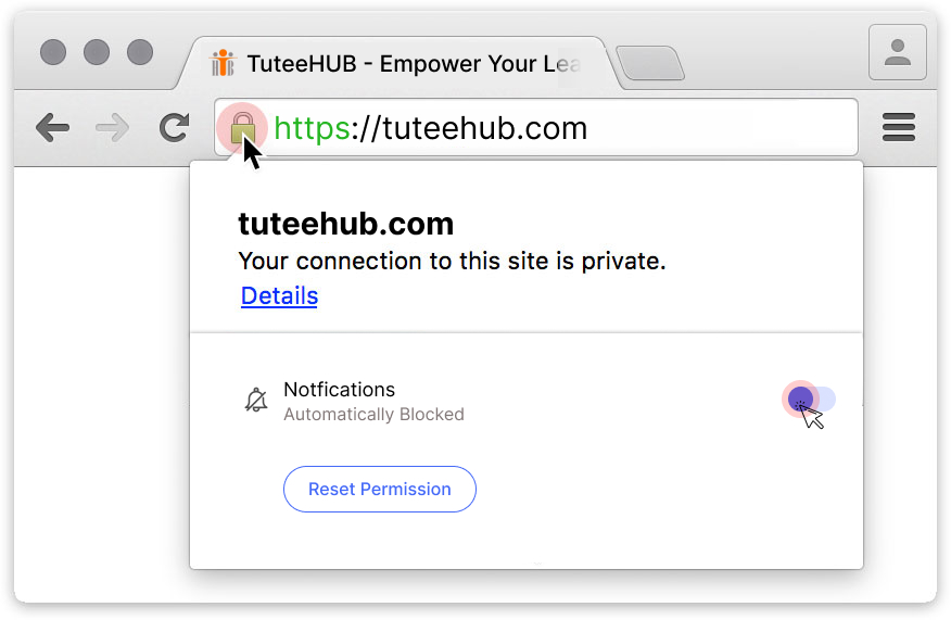
Click "Allow Notifications" in Your Browser to Access Quiz and Earn Rewards! 🚀


Write Your Comments or Explanations to Help Others